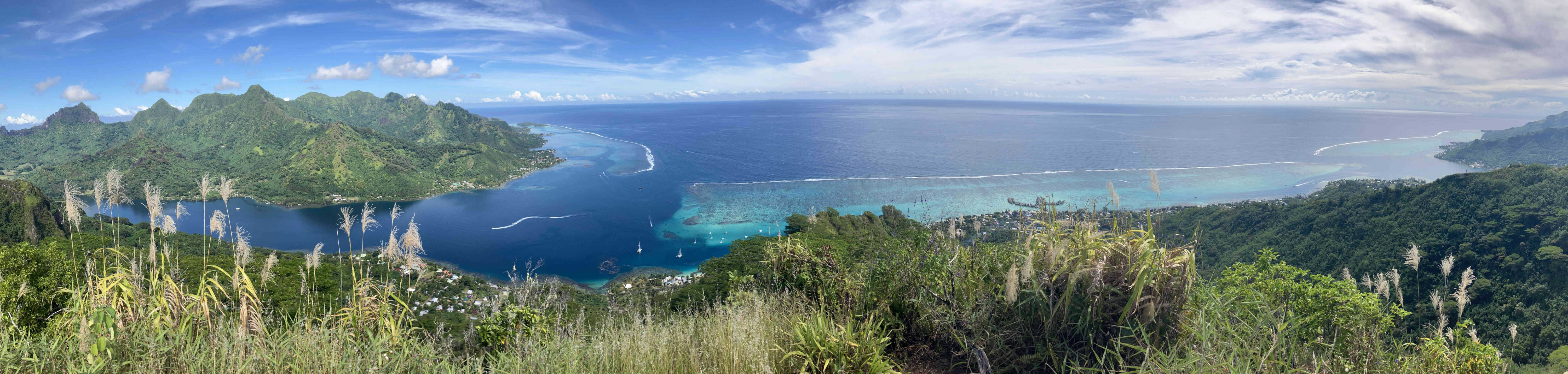
Coral reefs protect tens of thousands of miles of coastline, and provide food and income subsidies to over half a billion people globally. Corals (small, primitive animal species that live in colonies) get energy from a symbiotic algae in a form of mutualism, but their delicate relationship can be upset by heat stress, sedimentation, and nutrient pollution. In this project, we’re using public and proprietary satellite images, alongside fine-scale topography data and in-situ rainfall measurements to uncover how rainfall and land use change drive spatiotemporal variation in sedimentation and nutrient pollution in the lagoons of Moorea, French Polynesia.
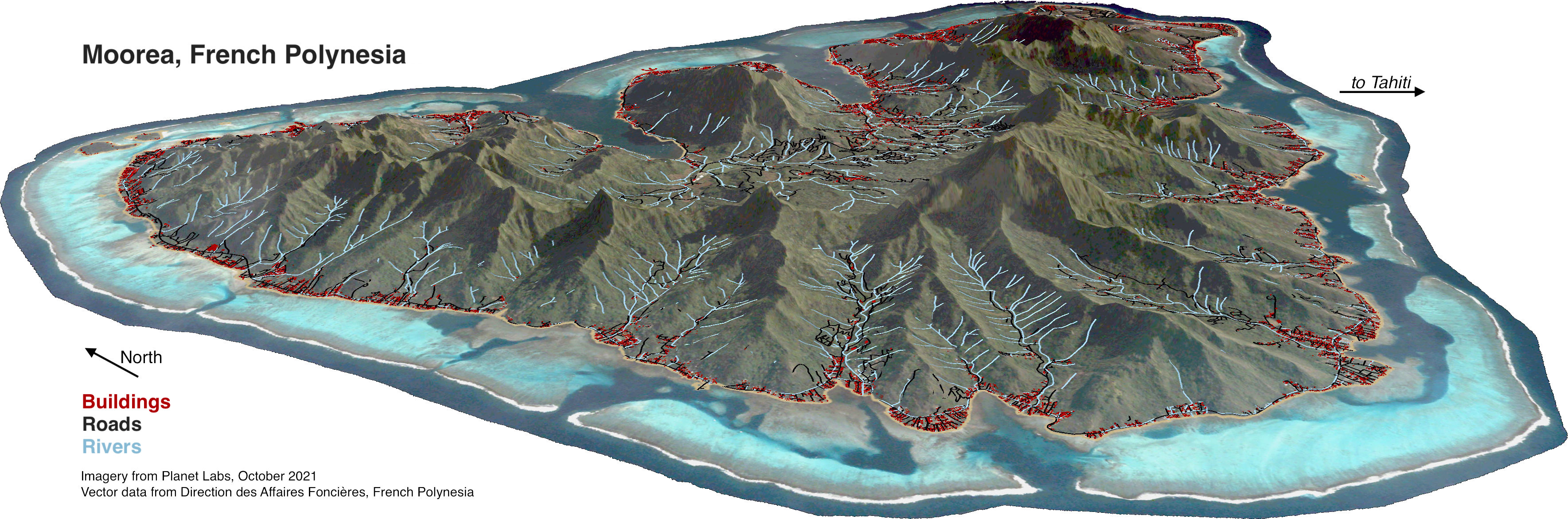
By tracking changes in forested, agricultural, and developed land, we can reveal how human activities affect land-sea connections. And, because some satellite records date back to the late 1970’s and early 80’s, we can get an idea of how land use has changed over the course of decades. This, taken together with historical oceanographic and weather data, will allow us to better understand how multiple coral stressors interact, and ultimately predict where stressful conditions will emerge for reefs in the future.